Luang Prabang and the North
Former royal capital at the confluence of the Mekong and Nam Khan rivers, extended by the Khmu and Hmong valleys of the Nam Ou, Nam Ha and Phongsaly.
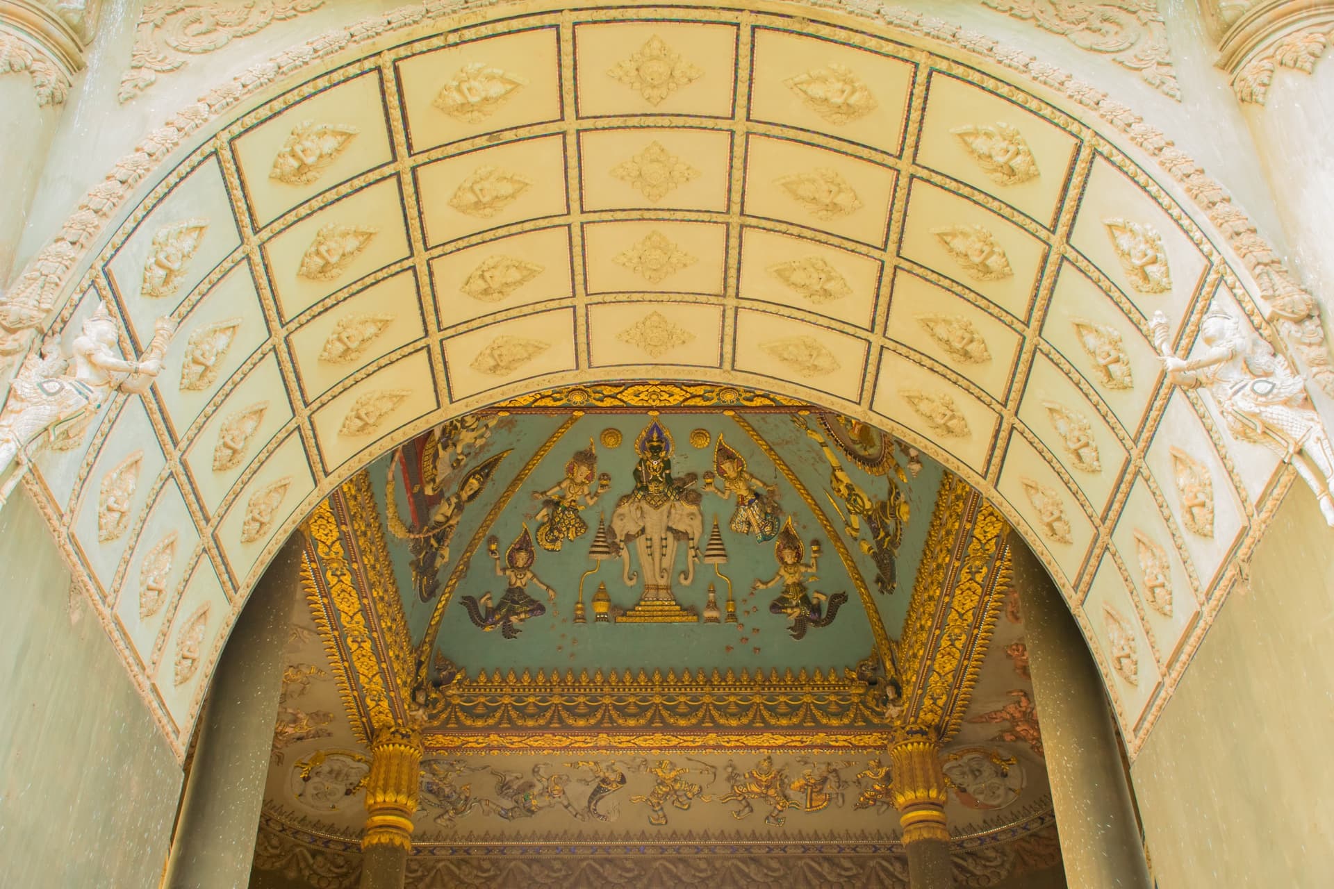
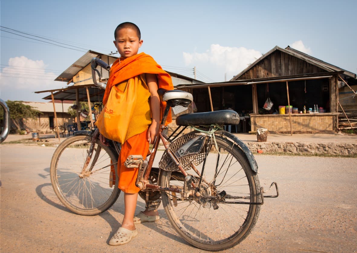
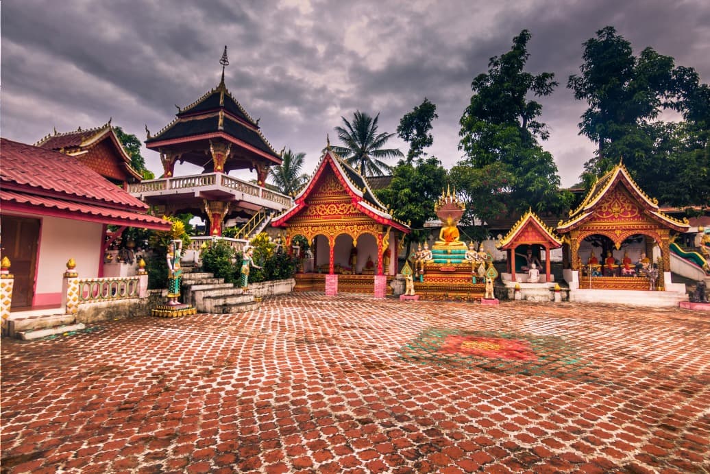
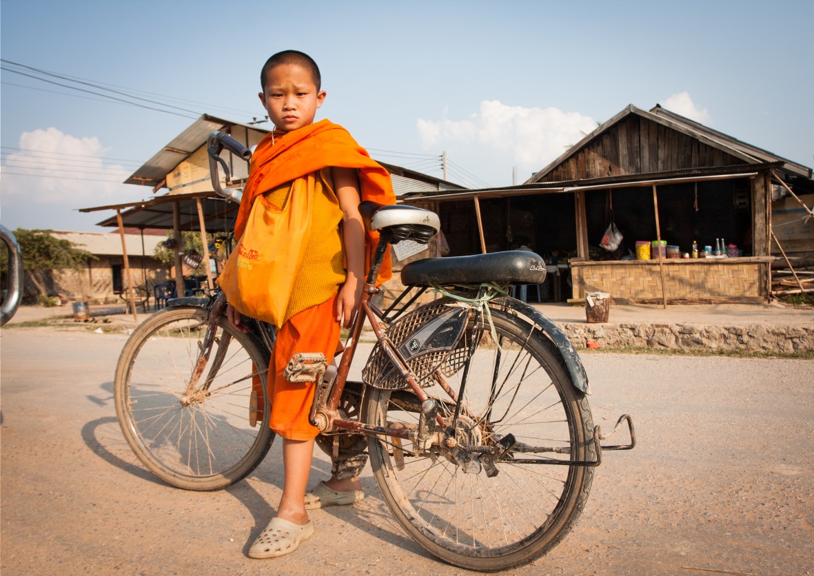
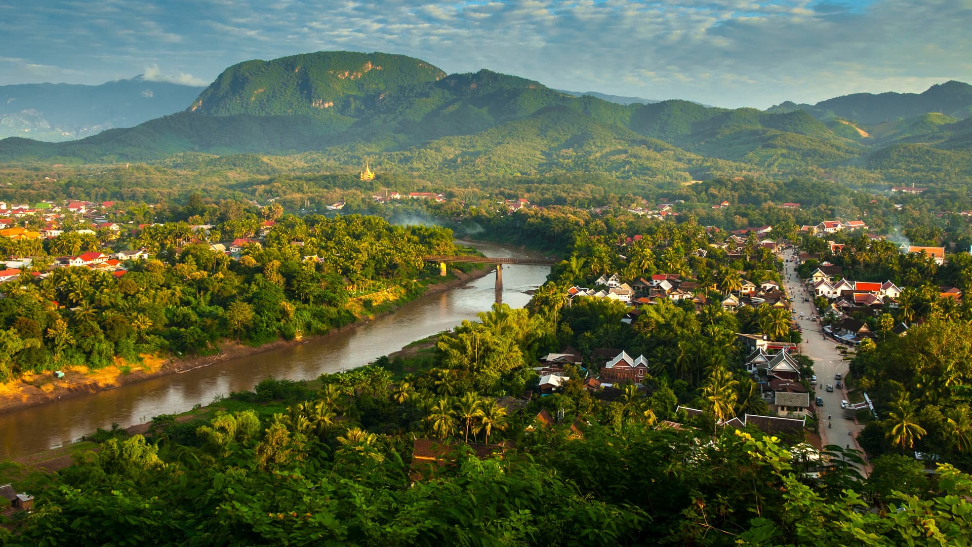
Luang Prabang occupies a tongue of land at the confluence of the Mekong and Nam Khan rivers, framed by Mount Phousi and forested hills that close off the valley. Inscribed on the UNESCO World Heritage List since 1995, the former royal capital preserves an urban fabric that is rare in Southeast Asia: colonnaded colonial houses, wats with stacked roofs like Vat Xieng Thong or Vat Mai, shaded lanes that slope down to the riverbanks. Around thirty temples remain active and shelter nearly a thousand monks and novices, which explains the visible concentration of tak bat at dawn—the silent procession for alms collection.
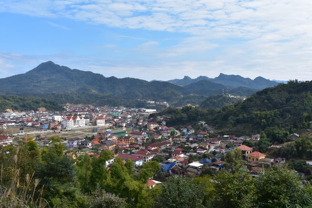
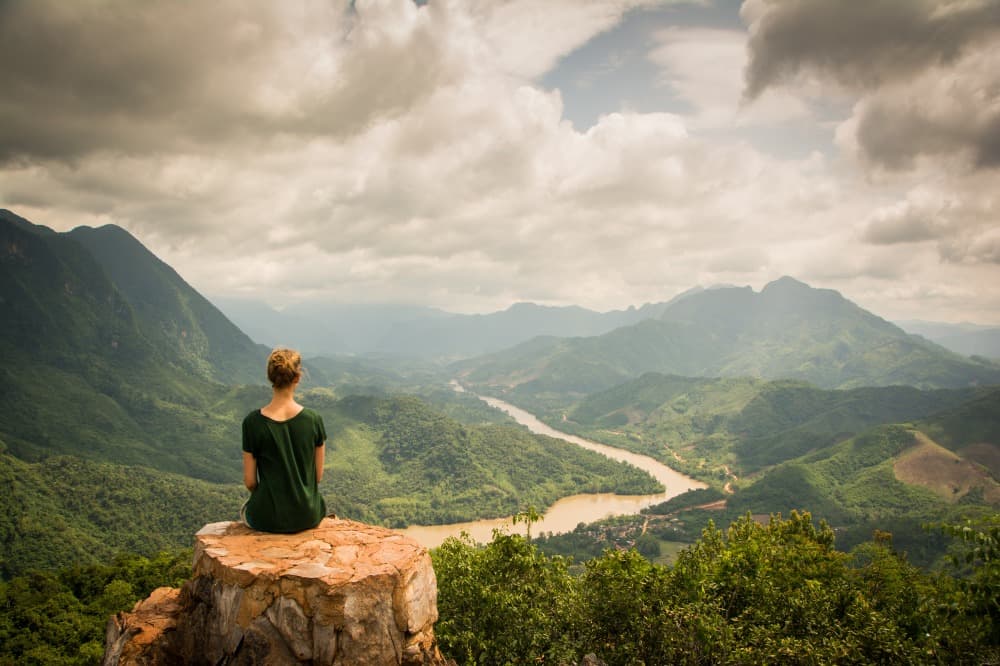
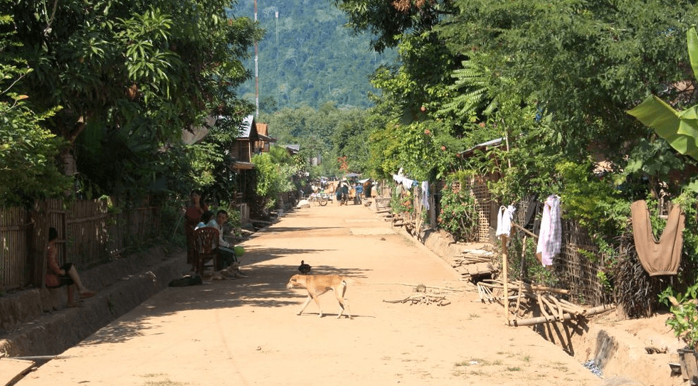
Beyond the city, northern Laos is a territory of folded mountains, between 1,000 and 5,000 feet in elevation, crossed by deep rivers: the Nam Ou, Nam Khan, and Nam Tha. The valleys are narrow, travel is slow, and the road network remains limited despite the arrival of the high-speed train connecting Vientiane, Luang Prabang, and Boten, which opened in 2021. This topography has shaped a dense ethnic mosaic. The Lao Loum live in the valley bottoms and cultivate irrigated rice. The Khmu, the region's first inhabitants, occupy the intermediate slopes. The Hmong, Akha, Lantène, and Yao settled higher, on the ridges, and still partly practice shifting cultivation.
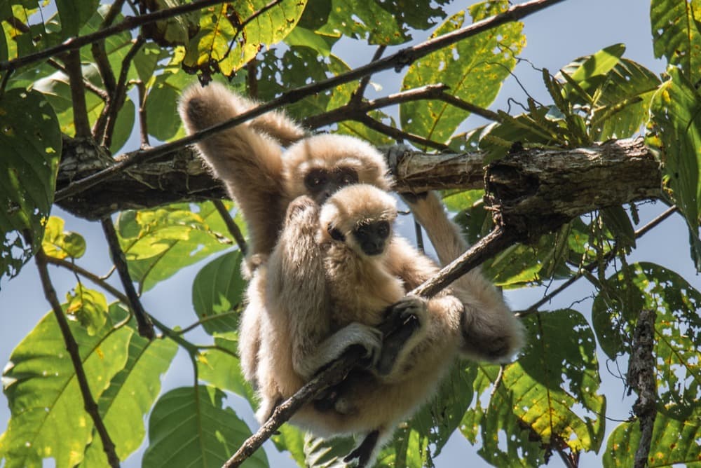
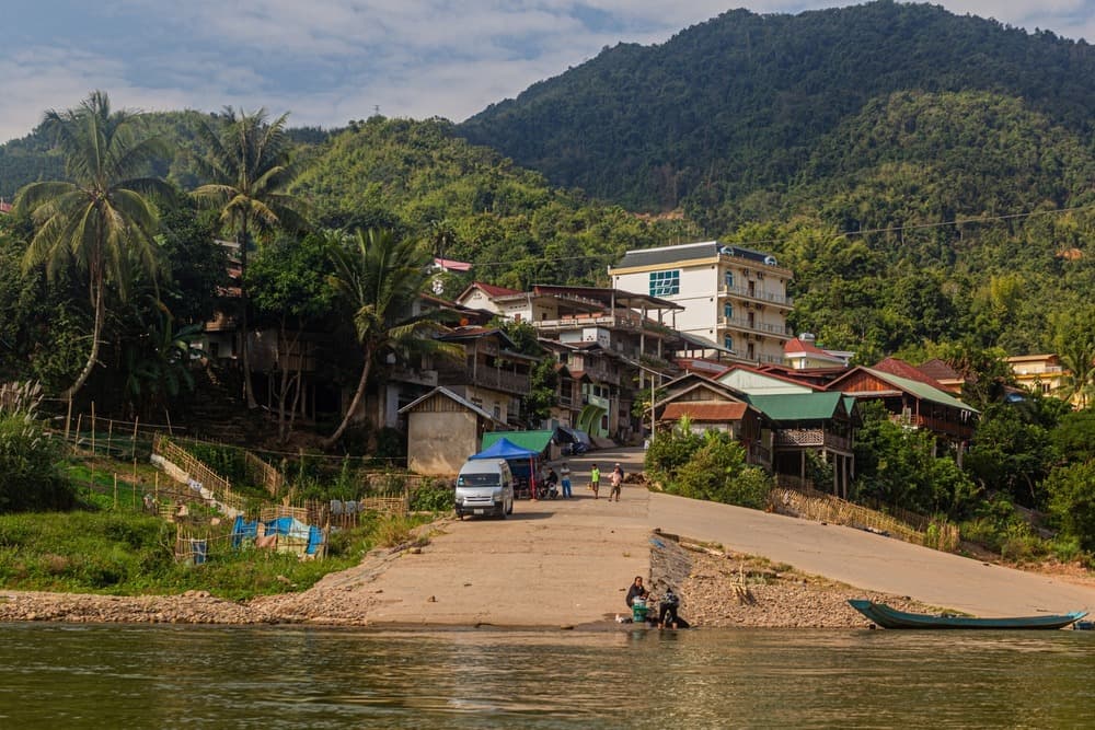
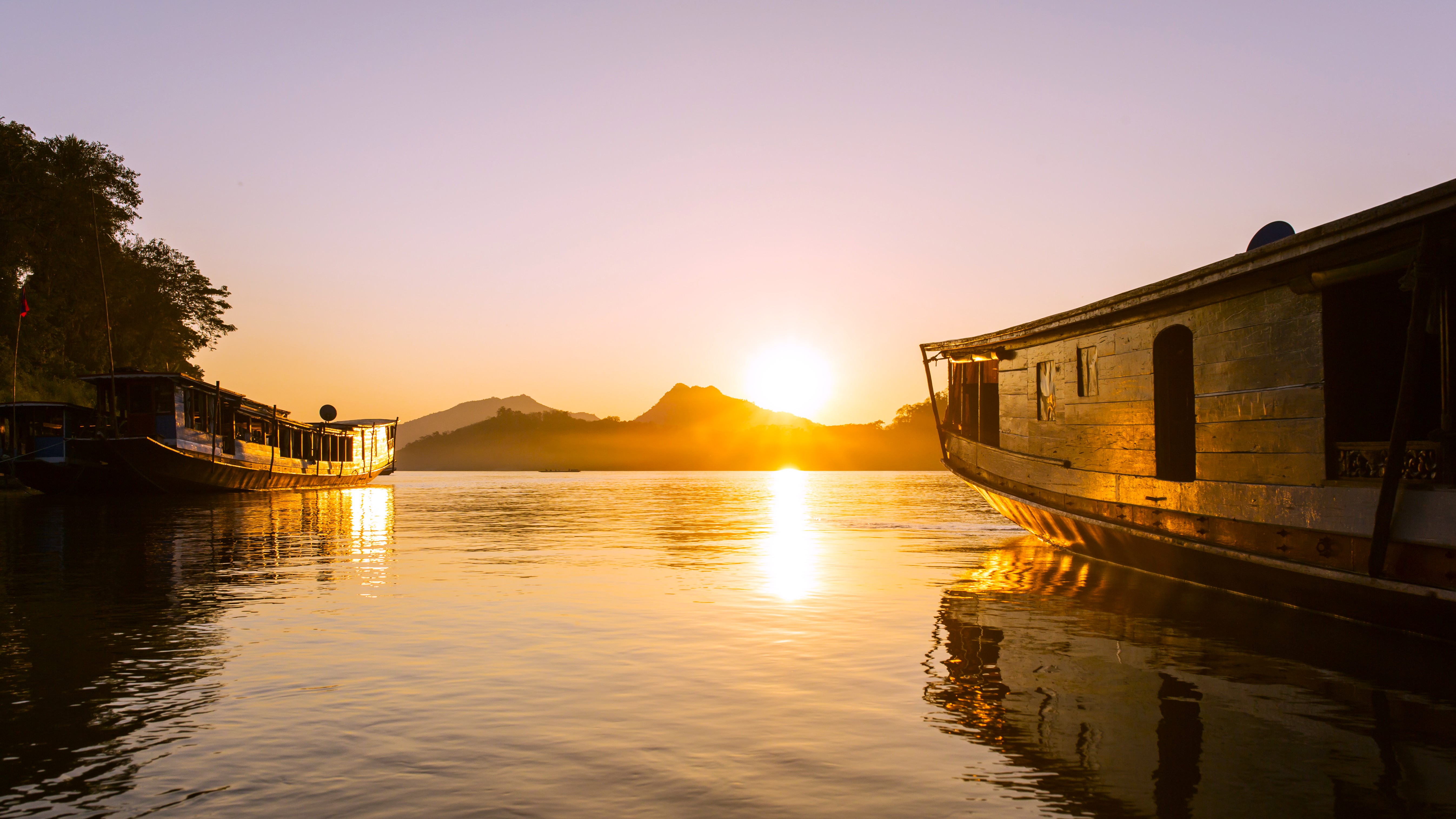
Four hours' drive north of Luang Prabang, Nong Khiaw marks the entrance to a rural Laos where life revolves around the Nam Ou. The village stretches beneath vertical limestone cliffs, extended by Muang Ngoi, accessible by motorized longboat in roughly an hour. Further west, Luang Namtha serves as a base for treks in the Nam Ha National Reserve, 550,000 acres of primary and secondary forest where white-cheeked gibbons and hornbills roam. Phongsaly, at the far north, requires two days of travel from Luang Prabang but provides access to the country's most remote Akha villages and the centuries-old tea plantations of Ban Komaen.
Climate strongly shapes activities. From November to February, nights are cool (46 to 59°F on the plains, sometimes below 41°F in the highlands around Phongsaly) and mornings are wrapped in thick fog that lifts around 9 a.m. The hot season, March to May, is often accompanied by haze from agricultural burning, which reduces visibility until late May. The monsoon, June to September, swells the rivers and renders certain northern routes impassable, particularly toward Phongsaly and Muang Khua.
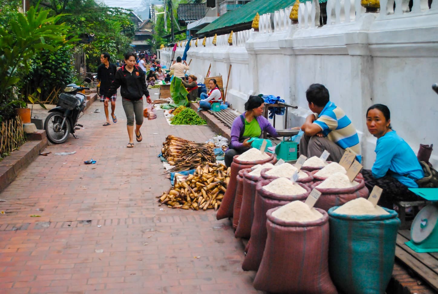
Northern cuisine differs from the south through its bitter herbs, bark broths, and use of local khao soi, a noodle soup of fermented soy paste and minced meat, unrelated to the Thai dish of the same name. Or lam, a stew thickened with dried buffalo skin and sakhan wood, is served in most Luang Prabang households. The evening market on Sisavangvong Street, and especially the morning food market behind Vat Mai, offer a tangible window into this gastronomy.
The calendar also shapes the region's experience. Pi Mai, the Lao New Year in mid-April, transforms Luang Prabang into a theater of water splashing and processions of the Phra Bang, the city's protective statue. Boun Ok Phansa, the end of the Buddhist retreat in October, features longboat races on the Mekong and the release of illuminated banana-bark boats on the Nam Khan.
Must-see
Tak bat in Luang Prabang. Daily procession of monks at 5:30 a.m. along Sakkaline Street. Observe seated and in silence from the opposite sidewalk, without flash photography, after previewing the protocol with our English-speaking team.
Nam Ou descent by pirogue. From Nong Khiaw to Muang Ngoi and then Muang Khua, approximately 7 hours of cumulative navigation between karstic cliffs and Khmu hamlets accessible only by river.
Trek in the Nam Ha Reserve. Two to four days of walking from Luang Namtha, nights in Akha or Lantène villages, moderate elevation gains but slippery trails during the wet season.
Kuang Si Falls. Travertine-stepped cascades 20 miles south of Luang Prabang, turquoise waters swimmable from November to May. Sun bear sanctuary at the site entrance, managed by Free the Bears.
Akha villages of Phongsaly. Three-day loop around Ban Komaen, tea plantations over 400 years old and the silver headdresses of Akha Nuqui women, at 4,600 feet elevation.
When to visit
The best window for visiting Luang Prabang and the North runs from October through early March. Monsoon rains have ended, rice paddies around Luang Prabang turn golden until November's harvest, and rivers remain safely navigable. Daytime temperatures range from 72 to 82°F on the plains, but nights drop to 50°F in Luang Prabang in December and January, and frequently below 41°F in Phongsaly or Muang Sing. Bring a fleece and hat for early-morning boat departures, where river humidity intensifies the cold sensation.
March to May bring two specific northern constraints: the haze from agricultural burning that obscures landscapes and may trouble sensitive travelers, and rising temperatures (up to 100°F in Luang Prabang in April). The monsoon, June to mid-September, delivers 10 to 14 inches of rain monthly, often in late-afternoon downpours. Roads to Phongsaly, Muang Khua, and certain Nam Ha villages become unreliable, but Nam Ou navigation remains possible and landscapes take on a lush green intensity unavailable in the dry season.
Practical advice
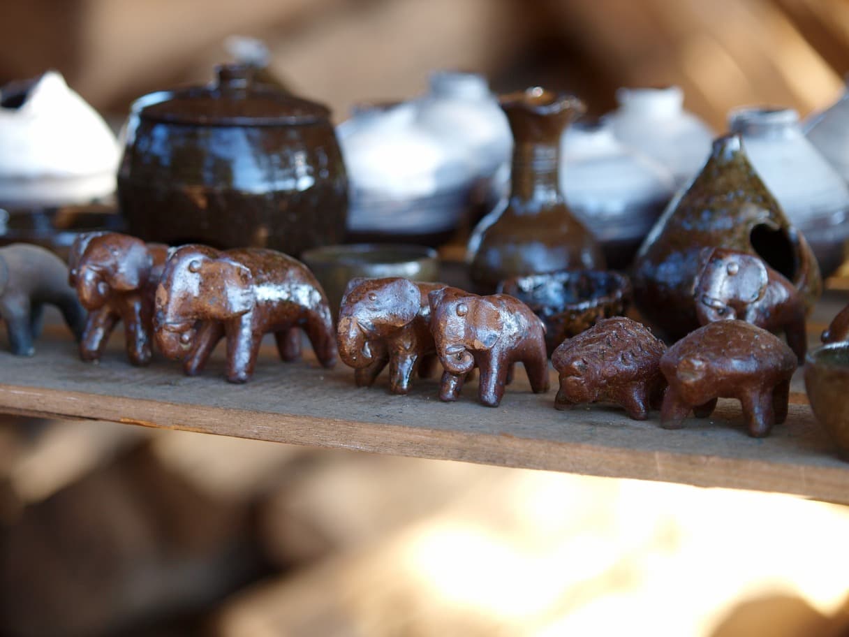
We recommend a minimum of 4 nights in Luang Prabang itself to cover the city, Kuang Si, an artisanal village like Ban Xang Khong, and a morning at the Phosi market. To include rural northern regions, allow 8 to 12 days total: Nong Khiaw and Muang Ngoi require 3 days minimum because of boat transit times, Luang Namtha and a Nam Ha trek occupy 4 days, and Phongsaly requires a full week due to distances. Luang Prabang's international airport receives direct flights from Bangkok, Chiang Mai, Hanoi, Singapore, and Kunming, and the high-speed train places the city 2 hours from Vientiane.
The most natural combination pairs with Vientiane and central Laos by train or road, then heads north to the Northwest and Mekong for those wishing to reach the Thai border by descending the Mekong to Huay Xai (two days by slow boat via Pakbeng). A complete northern then southern loop via Si Phan Don requires three weeks for comfort. Lodging ranges from heritage boutique hotels in Luang Prabang to rustic guesthouses without hot water in trekking villages. The region suits contemplatives (Luang Prabang, Mekong cruises) as well as walkers (Nam Ha, Phongsaly); for families with young children, we recommend focusing on Luang Prabang, Kuang Si, and one night in Nong Khiaw, without pushing to multi-day treks.