Complete guide to Laos
Laos reveals itself slowly, along the Mékong and mountain roads connecting Luang Prabang to the southern plateaus. From our agency in Vientiane, we follow this landlocked country nestled between China, Vietnam, Cambodia and Thailand, where 70% of the territory is covered by mountains and forests. Morning Buddhist ceremonies, the click-clack of looms in Tai Lue villages, the smell of grilled fish laap on the riverbanks: these are the concrete details we want to share.
Four regions structure a coherent journey. The mountainous North around Luang Prabang and Nong Khiaw, homeland of the Hmong, Khmu and Akha peoples, with its terraced rice fields and limestone caves. The Centre, where Vientiane keeps its provincial pace and where the Plain of Phonsavan shelters the mysterious Plain of Jars. The South, dominated by the Boloven plateau and its arabica coffee plantations between 1000 and 1300 metres altitude. Finally the fluvial archipelago of Si Phan Don, the 4000 islands of the Mékong at the Cambodian border, refuge of the last Irrawaddy dolphins.
For a first trip, we recommend 12 to 15 days between Luang Prabang, the Thakhek loop or the deep North, and a journey south. Beyond 18 days, the country reveals itself with another depth, that of multi-day treks and nights with local families.
The regions of Laos
Each region has its own personality: climate, landscapes, pace of life and ways of traveling. Our local team helps you choose the combination that suits you.
Luang Prabang and the North
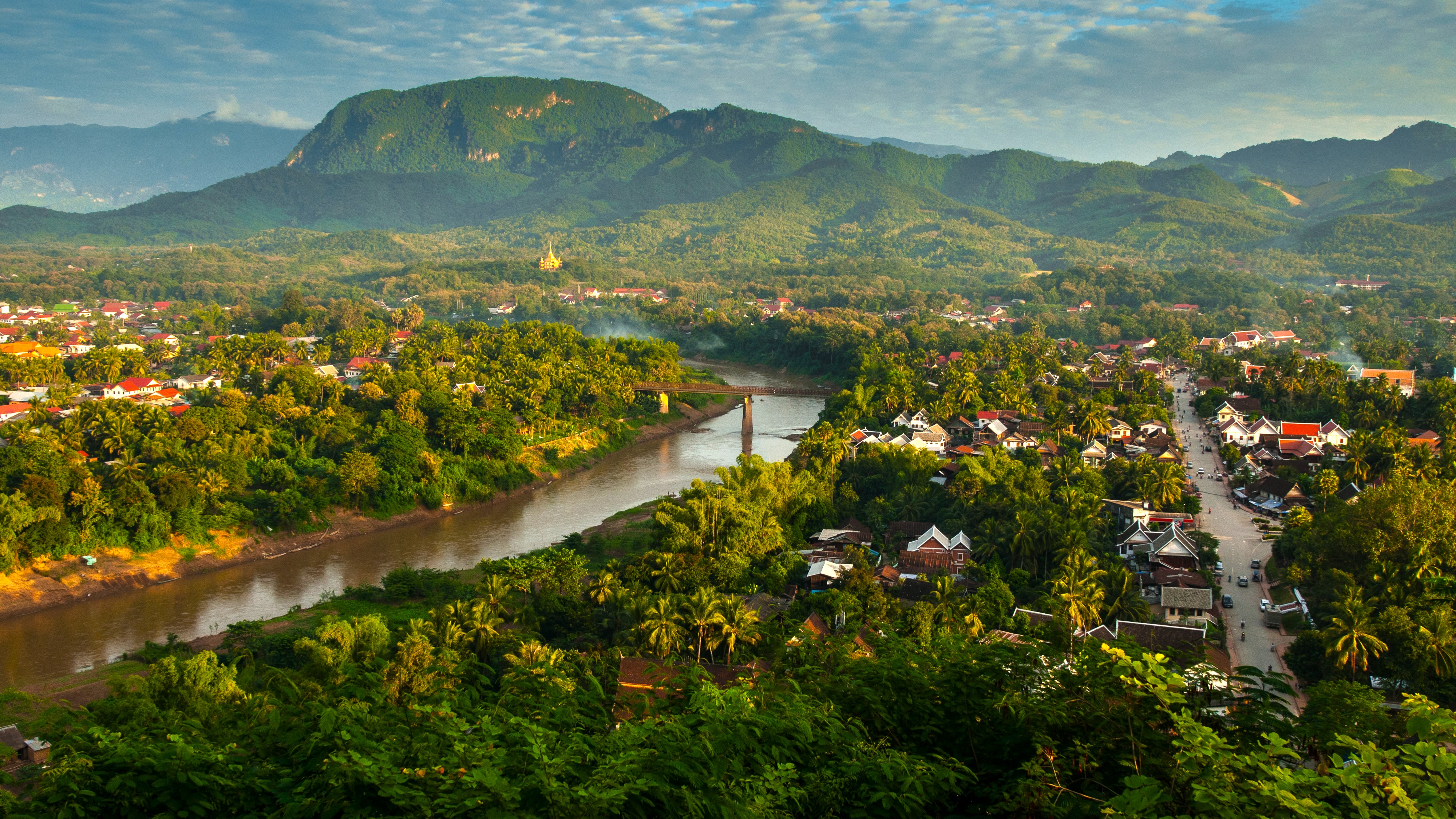
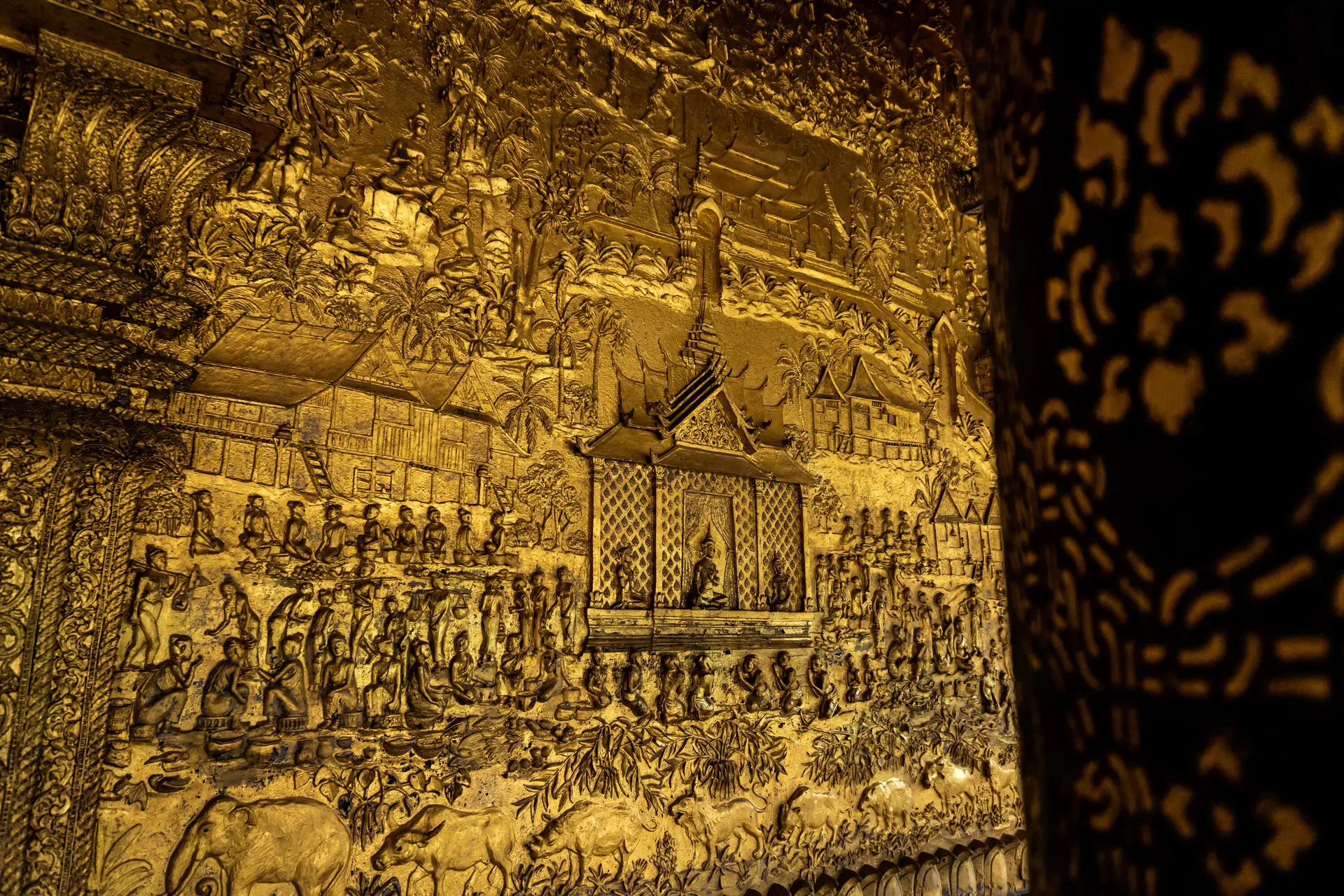
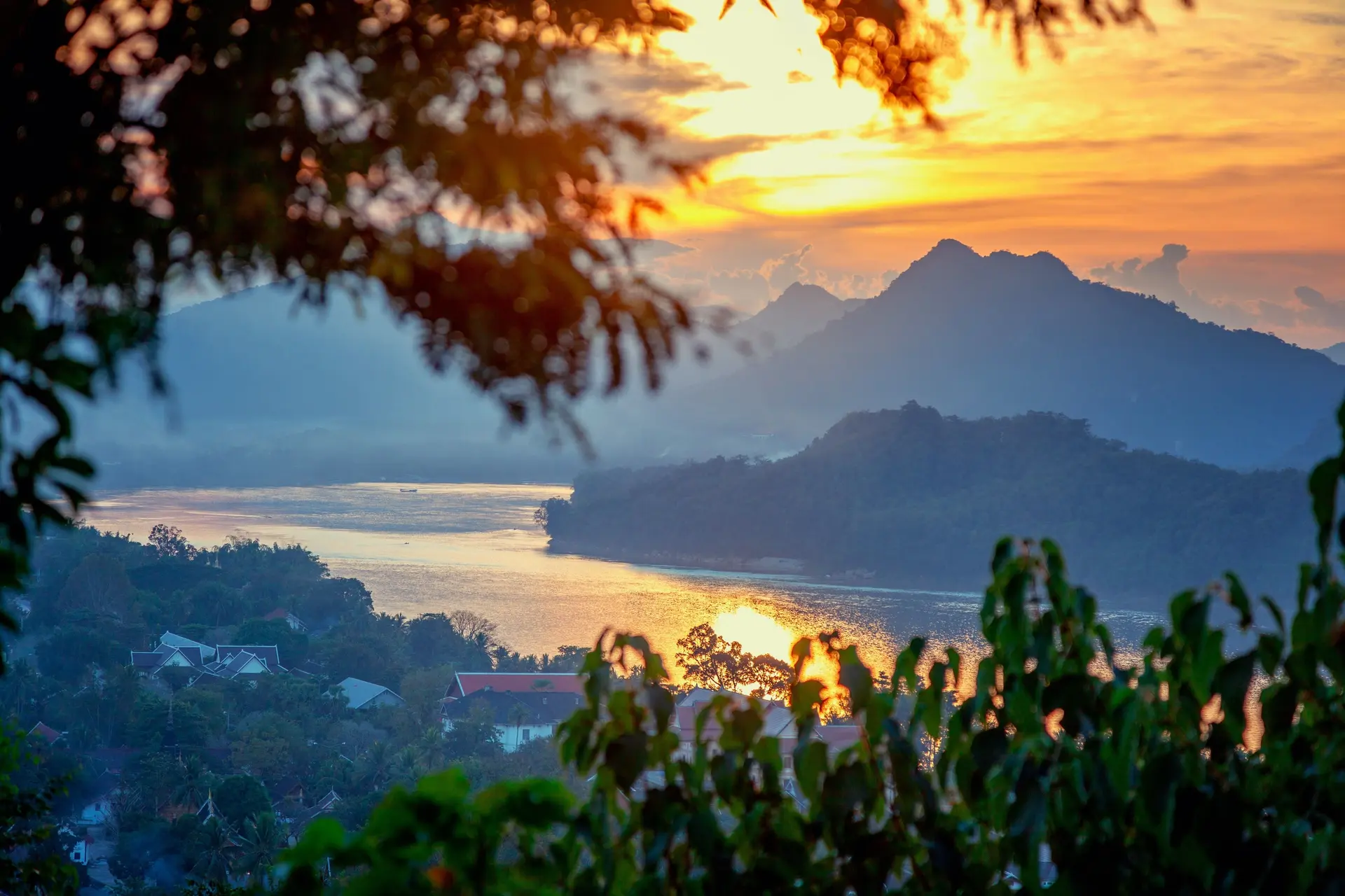
UNESCO-listed, the former royal capital concentrates around thirty active temples at the confluence of the Mekong and Nam Khan rivers. At dawn, saffron-robed monks cross the town for tak bat, the alms-giving ritual. Further north, Nong Khiaw and Muang Ngoi offer authentic rural Laos, accessible by longboat on the Nam Ou. Khmu and Hmong villages dot the trails towards Phongsaly and Luang Namtha, the starting point for treks in the Nam Ha reserve. Altitudes between 300 and 1500 metres, cool nights during the dry season, morning mists from November to February.
Vientiane and the Centre
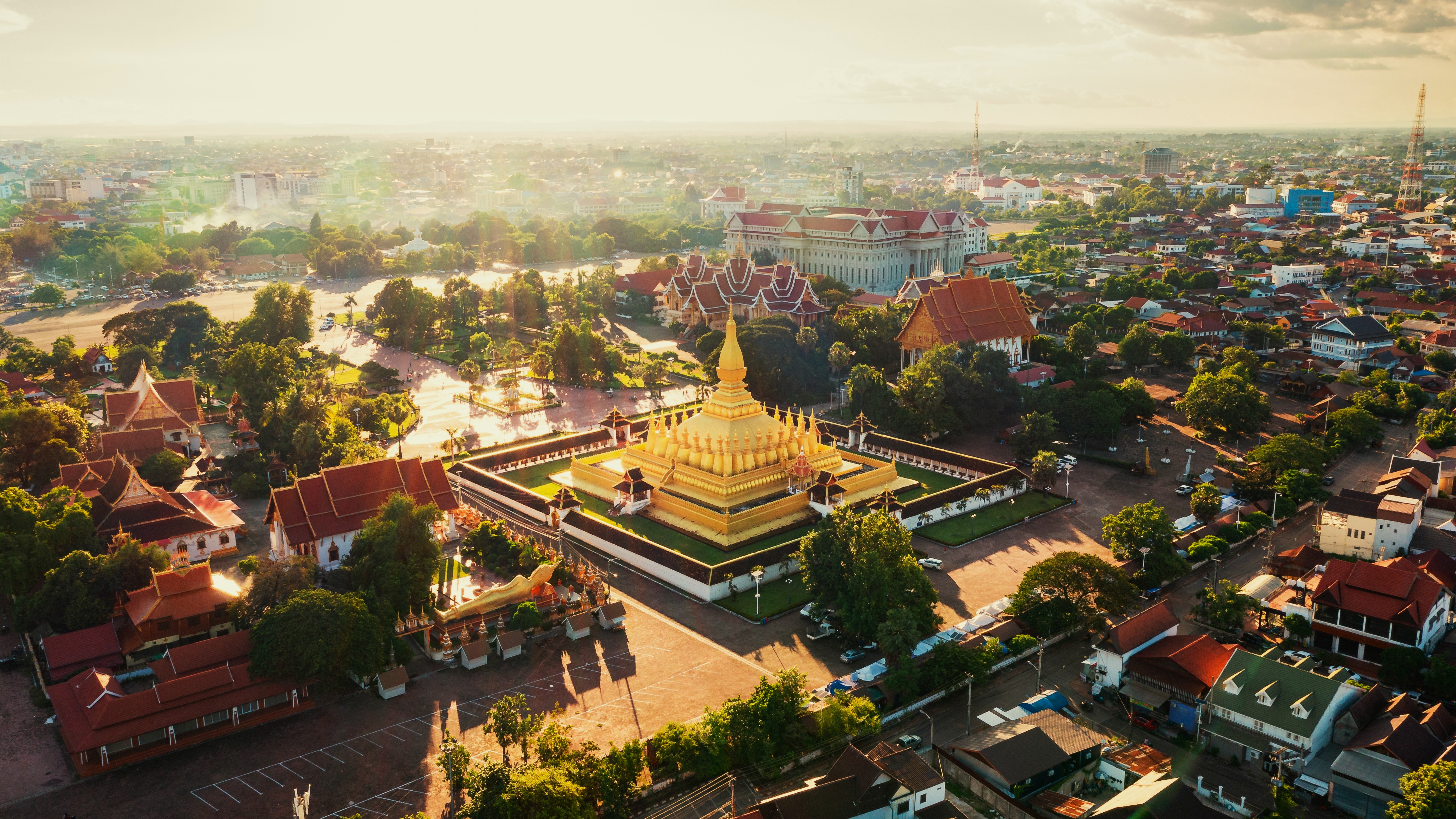
The capital maintains the pace of a large town nestled on the Mekong, facing Thailand. The golden Pha That Luang and Wat Sisaket, the city's oldest temple, merit half a day. To the east, the Thakhek loop crosses the karst landscapes of Khammouane, with the Konglor cave, traversed by boat for 7.5 kilometers beneath a limestone vault. To the northeast, Xieng Khouang province is home to the Plain of Jars, megalithic remains from the Iron Age, and still bears traces of the American secret war. Warmer climate than the North, ideal from November to February.
Boloven Plateau
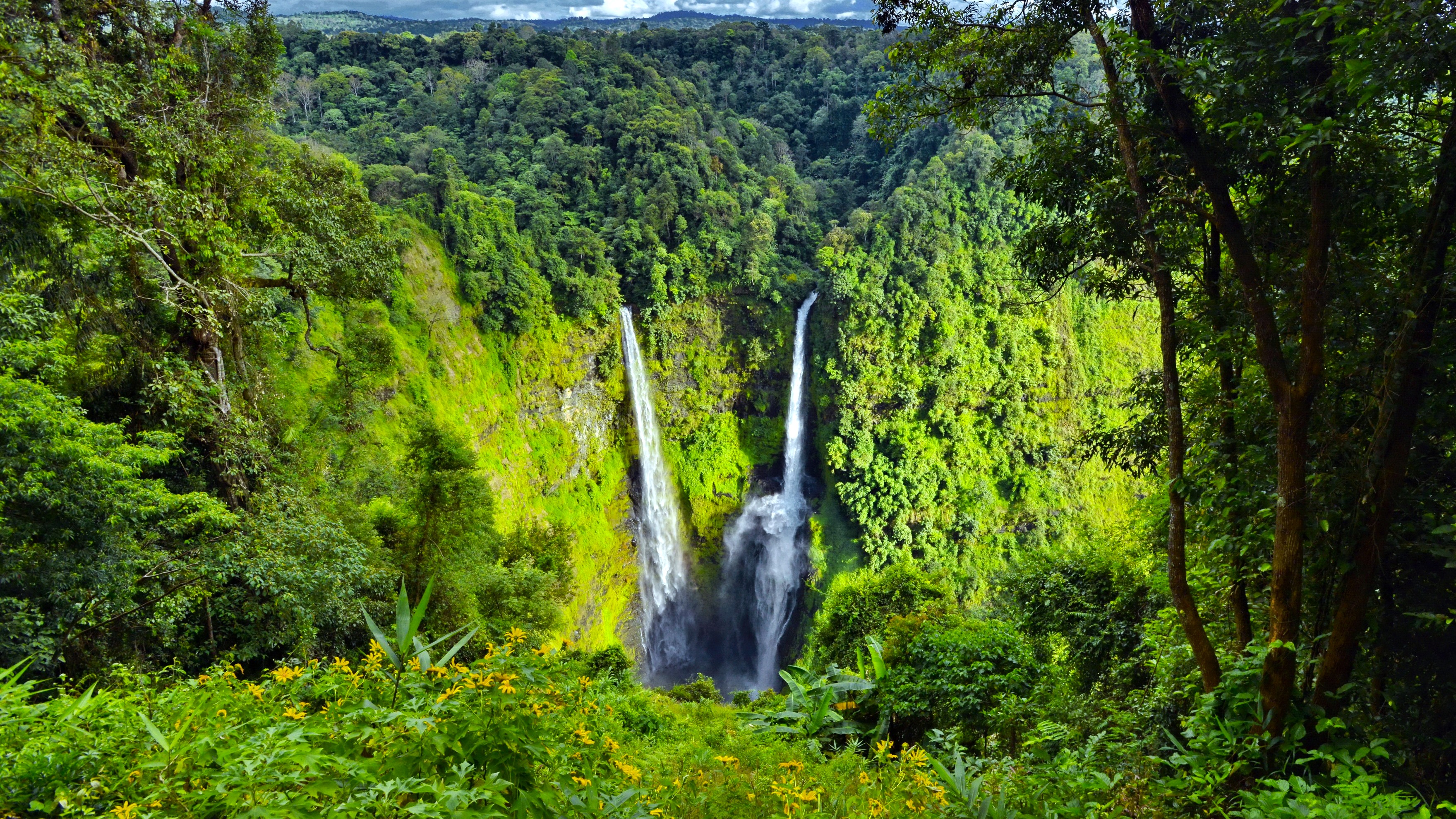
In the south, the Bolovens volcanic plateau rises to 1,350 meters and offers a temperate climate that contrasts with the heat of the Mekong valley. The Katu and Alak villages live off arabica and robusta coffee, cardamom and tea, a legacy of French plantations from the 1930s. We organize visits to roasting facilities around Paksong and overnight stays in traditional houses at Kok Phoung Tai. The Tad Fane, Tad Yuang and Tad Lo waterfalls cascade down basaltic slopes, with heights of 120 meters for the most spectacular ones. Dry season from November to February, cooler in the morning.
Si Phan Don and the South
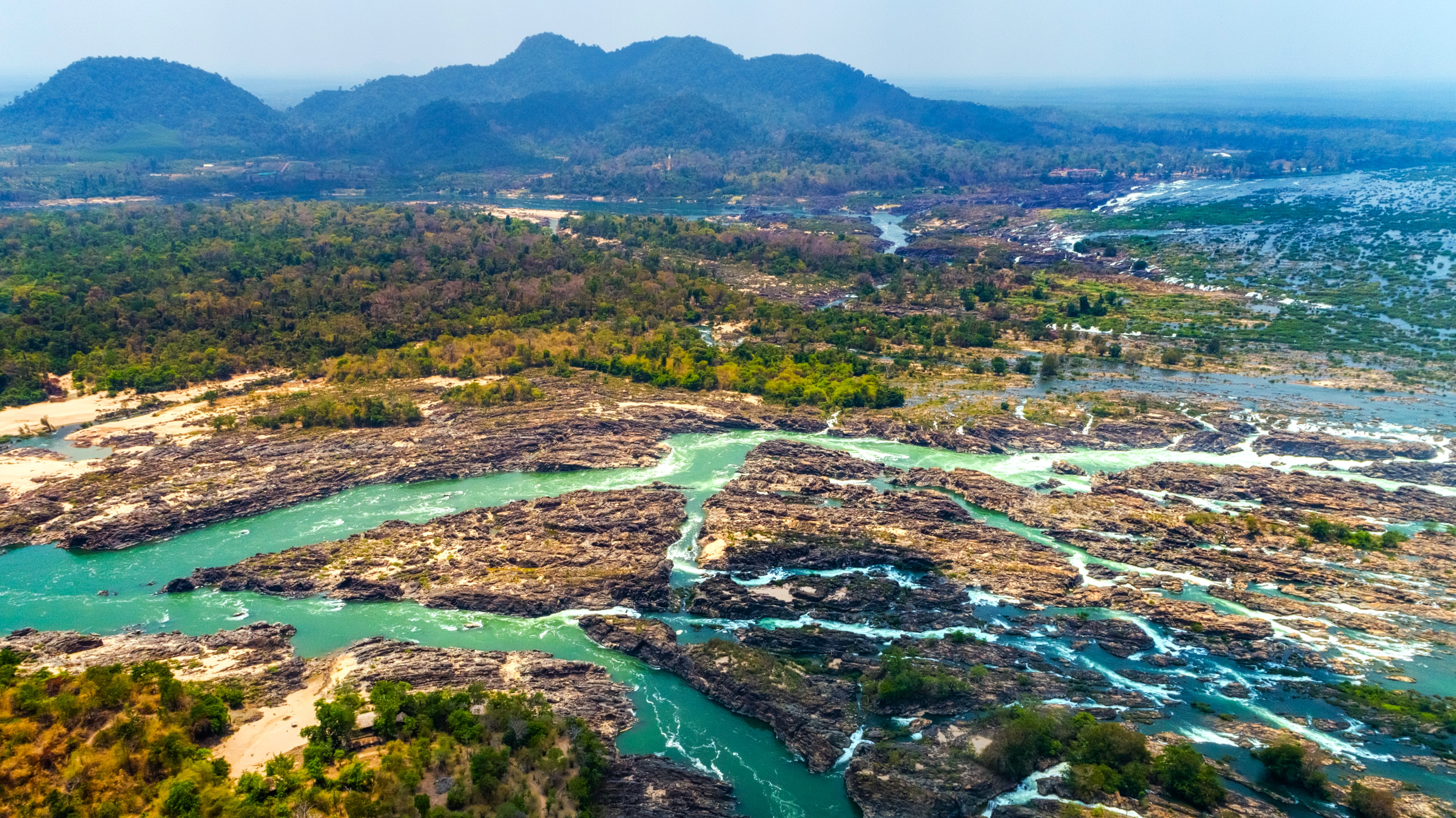
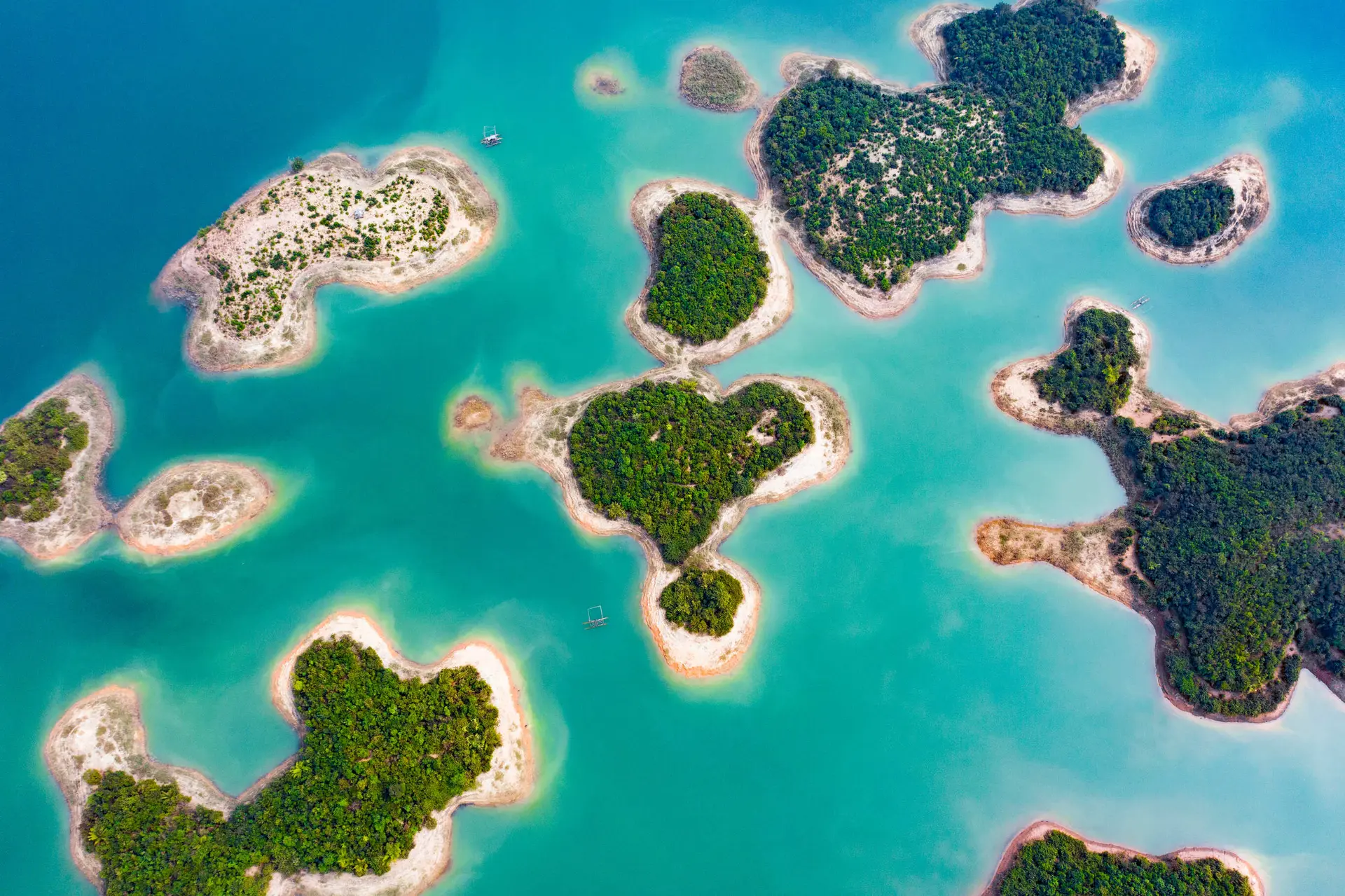
At the far south, the Mekong widens over 14 kilometres and fragments into a maze of islands before plunging over the Khone Phapheng Falls, the most voluminous in Southeast Asia. Don Khong, Don Det and Don Khone can be explored by bicycle among rice paddies and sugar palms. The last Irrawaddy dolphins, around thirty individuals, still frequent the deep waters near the Cambodian border, observable by boat at dawn. Further north, Champassak is home to the pre-Angkorian Khmer sanctuary of Vat Phou, a UNESCO World Heritage site, nestled against Mount Phou Kao.
Northwest and Mekong
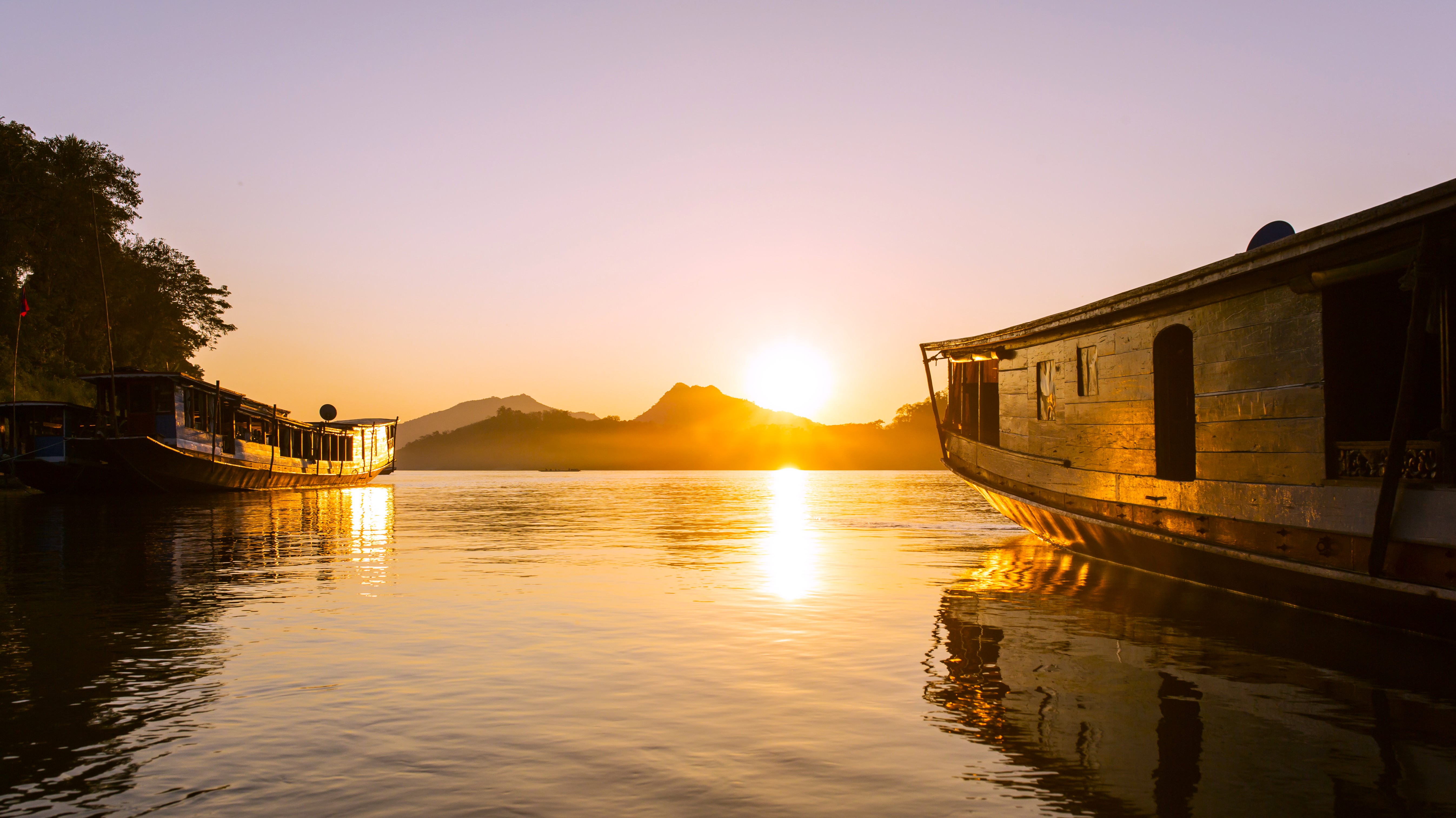
From Huay Xai, on the Thai border, a slow boat journey down the Mekong reaches Luang Prabang in two days with an overnight stay in Pakbeng. This is the historic route of teak and opium merchants. The region is also home to the Gibbon Experience, a conservation project in the Bokeo reserve where you sleep in treehouses perched 40 meters high and connected by zip-lines. Further east, Luang Namtha and Muang Sing provide access to treks among the Akha, Lanten and Tai Dam ethnic groups, near the Chinese and Burmese borders.
Explore by theme
Unique experiences tailored to every traveler.
Culture & Heritage
Temples, musées, sites historiques
Nature & Landscapes
Parcs nationaux, montagnes, forêts
Sea & Beaches
Littoral, îles, sports nautiques
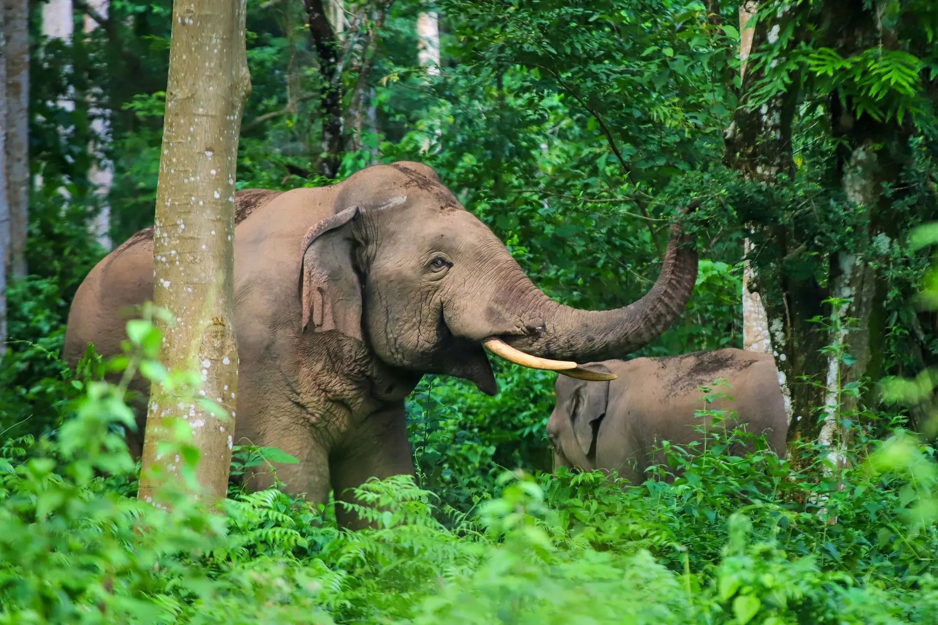
Wildlife & Biodiversity
Observation animale, sanctuaires, réserves
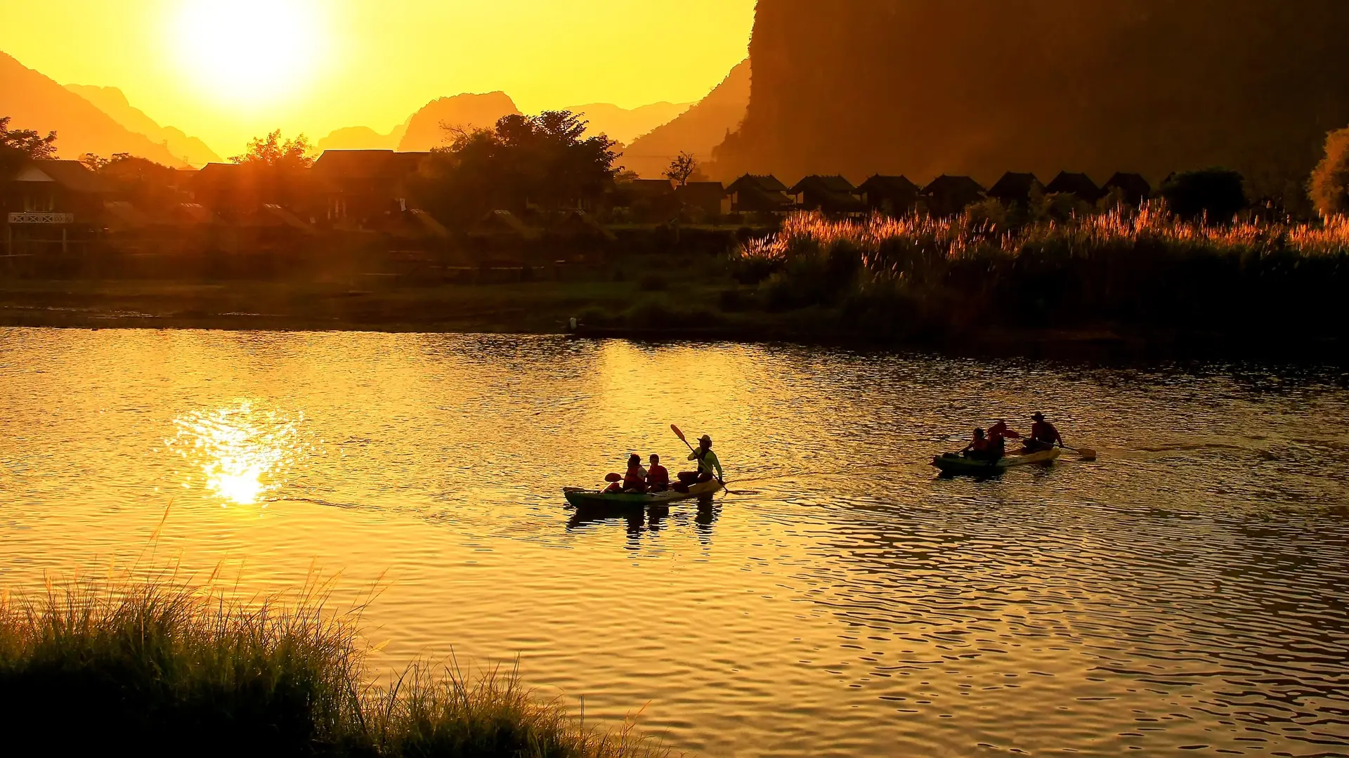
Activities & Adventure
Trek, kayak, escalade, sports outdoor
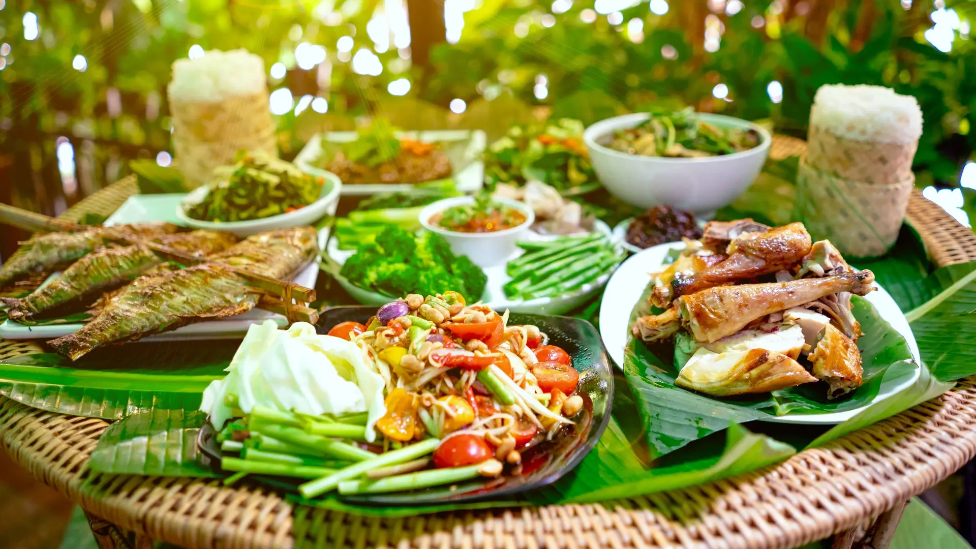
Gastronomy
Cuisine locale, marchés, cours de cuisine
We use cookies to improve your experience and measure our site's audience. You can choose what you accept. Learn more.