Phou Khao Khouay National Park
Phou Khao Khouay National Park
Just 40 km from Vientiane, Phou Khao Khouay National Park spans 2,000 km² of sandstone forests, waterfalls and rivers, home to wild elephants and ethnic villages on its periphery.
Forty kilometers northeast of Vientiane, Phou Khao Khouay National Park covers 2,000 km² of forests, sandstone plateaus and rivers. Its name means "mountain shaped like a buffalo horn" and perfectly captures the dramatic terrain that peaks at 1,760 meters. Despite its proximity to the capital, this massif remains relatively untouched and offers an accessible gateway to Laotian wilderness.
Why visit Phou Khao Khouay
The park offers a cross-section of Laotian ecosystems within two hours of Vientiane: high-altitude pine forests, tropical valleys, waterfalls, reservoirs and minority ethnic villages on its fringes. This diversity, combined with a network of marked trails around Tad Leuk and Tad Xay, makes it one of the few protected areas in the country accessible as a one to two-day excursion from the capital.
The contrast with the karst sites in the north is striking: here, sandstone dominates, rivers cut through gorges and the canopy shelters wildlife that remains observable, notably wild elephants whose movements are tracked by local villagers.
History and protection status
The area was established on October 29, 1993 as the Phou Khao Khouay Biodiversity Conservation Zone. It was among Laos's first protected areas, part of a national network set up from the 1990s onwards. In 2021, its status was elevated and it was renamed a national park, marking increased recognition of its ecological value.
Beyond species protection, the park plays a hydrological role: its watersheds feed several rivers and limit erosion on sandstone slopes in a region subject to intense monsoon rainfall.
What to see and do
Terrain and landscapes
The park stretches 80 km east to west and 40 km north to south, covering areas in Vientiane and Bolikhamsay provinces. The terrain gradually rises from 200 m to 1,760 m, with a sandstone mountain chain dominated by Phou Ho and Phou Sang peaks. Three rivers traverse the massif: the Nam Gnong, Nam Mang and Nam Leuk. To the northeast, the artificial Nam Ngum lake borders the park.
Waterfalls and water features
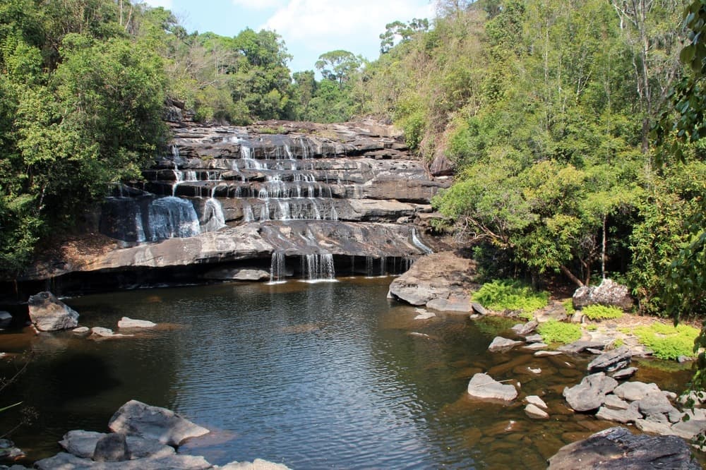
Two waterfalls draw most visitors: Tad Leuk, easily accessible and ideal for swimming in the dry season, and Tad Xay, more dramatic with steep canyon walls. The Ang Nam Leuk reservoir rounds out the hydrological network and offers open vistas appreciated toward day's end.
Wildlife
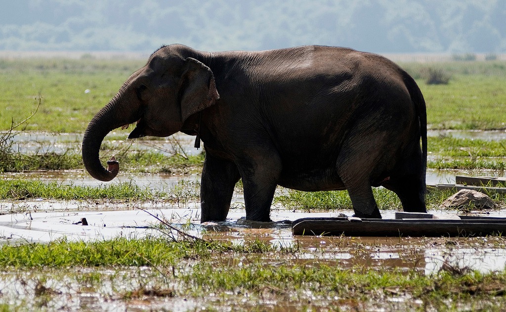
Phou Khao Khouay is home to diverse fauna documented by tourism services and conservation NGOs: Phayre's leaf monkey, gibbon, pygmy slow loris, Asian elephant, palm civet, Asian black bear and Siamese crocodile. Birdlife includes the purple heron, Indian peafowl, white-tailed eagle and crested argus. Wildlife observation is most likely at dawn, late afternoon or during guided nocturnal outings. Wild elephant observation platforms exist near Ban Na and Ban Hatkhai, managed in partnership with local communities.
Villages and cultures
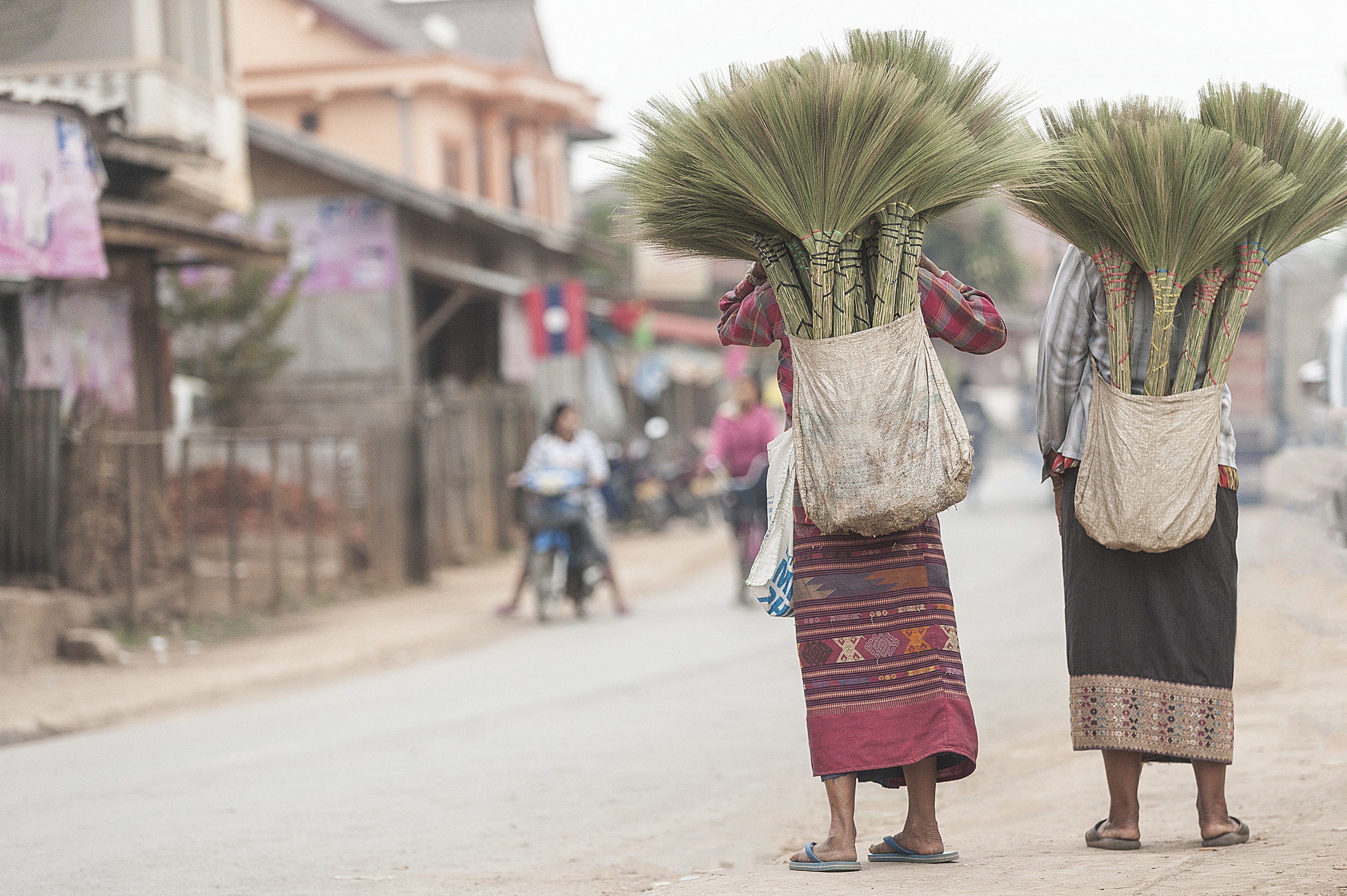
The park's periphery is inhabited by Hmong, Khmu and Yao communities. Village visits, when organized with a local guide, offer insight into subsistence agriculture, crafts and these groups' relationship with the forest.
Possible activities
- Hiking marked trails around Tad Leuk and Tad Xay
- Birdwatching and nocturnal wildlife observation with a guide
- Swimming at waterfall pools during the dry season
- Camping and community homestay accommodations
- Wild elephant observation outings from Ban Na
- Kayaking on calm river sections
Climate and best time to visit
The park experiences a monsoon climate with annual rainfall around 1,900 mm and an average temperature of 26.6°C (average low 21.5°C, average high 31.6°C). The rainy season from May to October makes some trails muddy and complicates access to waterfalls.
The most favorable window runs from November to April, during the dry season. November through February offer the mildest temperatures; March and April become warmer but remain accessible.
Practical information
The visit can be done as a day trip from Vientiane or over two days with a night in community accommodation near Tad Leuk or neighboring villages. The main trails don't require special fitness, but sturdy hiking boots are essential on wet sandstone.
Bring: plenty of water, insect repellent, long-sleeved clothing for forest areas, a headlamp for dawn or dusk outings, and swimwear. Park entry and certain activities involve a modest fee. On-site services are limited: stock up before arriving.
Hiring a local guide is recommended for wildlife observation and access to remote areas. Information offices at Ban Na and Tha Bok can direct visitors to community-based providers.
How to get there
From Vientiane, access is via National Road 13 toward Luang Prabang, then secondary roads leading to main entrances (Tad Leuk, Ban Na, Tha Bok). The journey typically takes 1 to 1.5 hours depending on the entry point. A private car with driver is the simplest option, but the park can also be reached by rented motorcycle from Vientiane. Public transport is limited and usually drops passengers at trailheads, which complicates the onward journey.
Nearby attractions
The park combines well with a discovery of the capital and surroundings. In Vientiane itself, Chao Anouvong Park offers a riverside stroll along the Mekong at sunset. To extend your nature experience, Nahm Dong Park and the Tham Kang caves broaden ecotourism possibilities in the country.
Frequently asked questions
Frequently asked questions
One day is enough to see one of the main waterfalls and hike a short trail. To observe wildlife, a two-day stay with one night on-site is more suitable.
Yes, observation platforms exist near Ban Na and Ban Hatkhai. Elephant sightings are seasonal and not guaranteed; a local guide knows the best times to visit.
November to April, during the dry season. November through February offers the most pleasant temperatures.
The areas around Tad Leuk and Tad Xay waterfalls are marked and can be explored independently. For wildlife, remote trails and villages, a local guide is highly recommended.
Simple community-based bungalows and homestays exist near main entrances. Comfort remains basic.
Planning your trip
Phou Khao Khouay fits easily into an itinerary including the capital and central Laos. To build your custom itinerary, explore our Laos tours.
Interested in this visit?
We can include it in your personalised itinerary.