Nam Ou River
Nam Ou River
A major tributary of the Mekong in northern Laos, the Nam Ou connects the Chinese border to Luang Prabang through karst gorges and riverside villages.
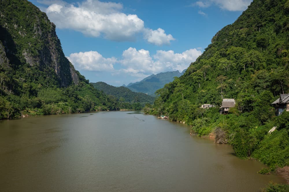
The Nam Ou is one of the principal rivers of northern Laos and a major tributary of the Mekong. Stretching 448 km, it connects the mountainous frontier massifs of China to the valley of Luang Prabang, flowing through limestone gorges, riverside villages and several protected areas. Its name means "river of the rice bowl" in Lao, a reference to its nurturing role for the communities along its banks.
Why visit the Nam Ou
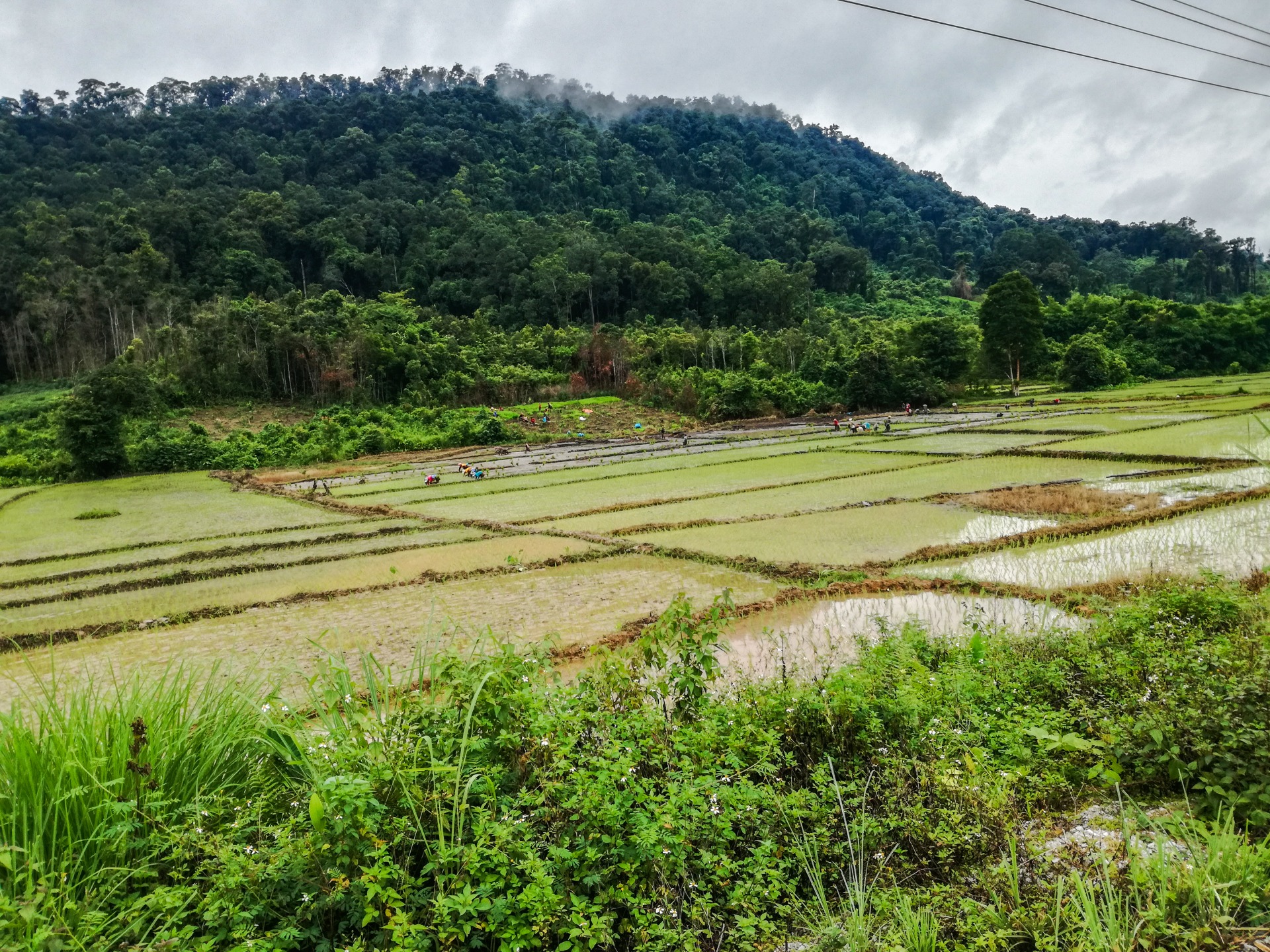
The Nam Ou offers a different face of Laos from that of the Mekong: less crowded, more deeply gorged, dotted with villages accessible only by boat or forest track. The landscapes alternate between jungle-covered karsts, sandbars and terraced rice fields. The river retains its function as a transport route for local people, making journeys in shared longboats closer to daily Lao life than to typical tourist circuits.
It should be noted, however: since 2013, the construction of seven hydroelectric dams (Nam Ou Cascade project, completed around 2021) has fragmented the river's course. Navigation continues to exist but now takes place in sections, with transfers at the edges of dams.
A historic waterway
The Nam Ou is mentioned in Lao tradition as the route taken by Khun Lo, founder of Luang Prabang, and later by King Fa Ngum, founder of the Lan Xang kingdom in the 14th century. For centuries, it served as a communication axis between China, the northern principalities and the Mekong valley, transporting goods, troops and messengers.
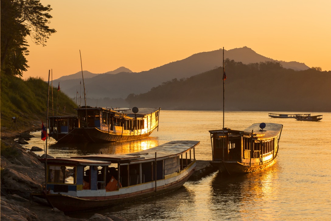
With the opening of borders in the 1990s, the river gradually opened to tourism, initially through slow boat connections between Nong Khiaw, Muang Khoua and Luang Prabang. The dams have since altered this logistics, but the upstream and downstream sections remain navigable.
What to see along the Nam Ou
Riverside villages
- Phongsali and Hat Sa: northern section, access to villages of Akha and Phounoy minorities.
- Muang Khoua: river junction, historic stop on slow boat routes.
- Nong Khiaw and Muang Ngoi: most visited section, framed by vertical limestone cliffs.
- Pak Ou: confluence with the Mekong, about thirty kilometers north of Luang Prabang.
The Pak Ou Caves
At the mouth, the Pak Ou Caves house several thousand Buddha statues left by the faithful over centuries. They constitute one of the most visited pilgrimage sites in the region and can be visited in half a day from Luang Prabang.
Notable biodiversity
The Nam Ou is home to 84 recorded fish species, of which 29 are endemic. Its northern section flows through the Phou Den Din national protected area, a refuge for species listed on the IUCN Red List: Asian elephant, Indochinese tiger, white-cheeked gibbon, and giant muntjac. The fragmentation of the river by dams has, however, affected migratory fish populations.
When to go
The dry season (November to February) is generally recommended for navigation: levels regulated by dams, clear skies, manageable temperatures. Late dry season (March–April) brings agricultural haze that can limit visibility. The rainy season (June to September) brings lush greenery but can lead to service suspensions in case of extreme levels or floating debris.
How to get there
Several access points are possible depending on which section of the river you wish to explore:
- From Luang Prabang: day excursion to Pak Ou by boat, or road to Nong Khiaw (3 to 4 hours by minibus) to reach the central section.
- From Nong Khiaw: central landing point, connections by longboat to Muang Ngoi (approximately 1 hour) and beyond.
- From Muang Khoua: access to northern sections, with transfers related to dams.
Tickets are purchased directly at the landing points. Budget from half a day to several days depending on the section traveled.
Practical advice
- Local boats are long, flat-bottomed or semi-covered longboats; bring a windbreaker, hat and water.
- Life jackets are not always provided: ask before boarding.
- Mobile network is erratic in upstream villages, cash withdrawal is impossible beyond Nong Khiaw.
- Simple accommodation (guesthouses, bungalows) available in Nong Khiaw, Muang Ngoi and Muang Khoua.
What to combine in the region
- Luang Prabang: former royal capital, logical starting point for the Nam Ou.
- Mekong Eden Farm: agroecological farm on the banks of the Mekong.
- TAEC Centre: to understand the ethnic minorities encountered along the river.
- Gibbon Experience: forest immersion in the northwestern part of the country.
Frequently asked questions
Frequently asked questions
Preparing your trip
To incorporate the Nam Ou into a complete itinerary through Laos, consult our travels in Laos and our suggestions for itineraries combining Luang Prabang, the mountainous north and the Mekong valley.
Interested in this visit?
We can include it in your personalised itinerary.