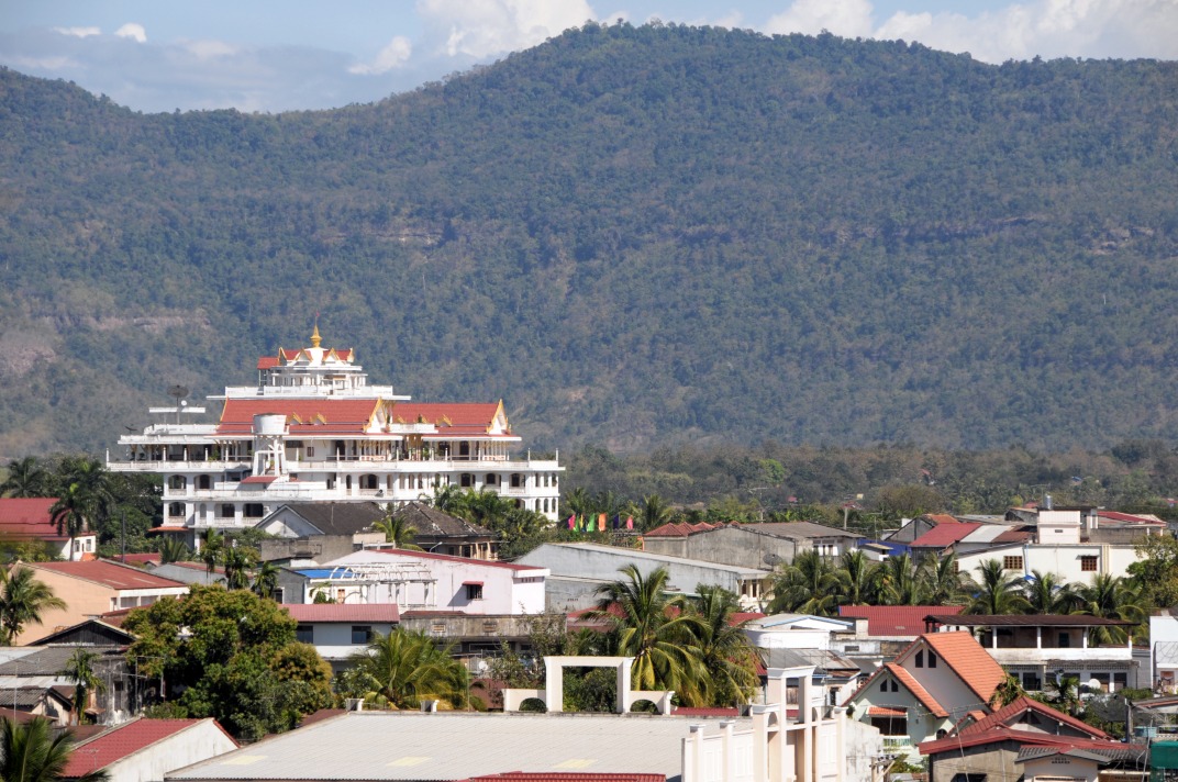
Pha Ngeun Viewpoint (Pha Ngeun Peak)
A rocky outcrop overlooking the Vang Vieng plain, Pha Ngeun Peak offers sweeping views of the Nam Song and limestone karsts. A short, accessible hike away from the crowds.
Pha Ngeun Peak is a rocky outcrop that dominates the Vang Vieng plain in central Laos. From the summit, the view sweeps across the Nam Song, limestone karsts and rice paddies stretching to the horizon. Less crowded than the nearby Pha Ngern, it attracts hikers seeking an authentic panorama without the throngs that descend on the region's most popular sites.
Practical essentials at a glance
- Access: departure from Vang Vieng village, crossing the Nam Song by flat-bottomed boat or on foot depending on the season, then a hiking trail.
- Recommended duration: allow 2 to 3 hours round trip for the ascent and descent.
- Gear: hiking shoes essential, the trail is slippery during the rainy season.
- Entry: a modest access fee is generally collected at the trailhead (amount to confirm on site).
What you'll see
The summit offers a 360° panorama over the Nam Song valley. The characteristic karst formations of the Vang Vieng plateau rise in successive silhouettes. On clear days, the rice paddies below form a patchwork of green and gold depending on the season. Dense vegetation on the slope shelters forest birds easily spotted at dawn.
History and context
Vang Vieng developed as a commercial crossroads along Route 13, between Vientiane and Luang Prabang. The limestone peaks surrounding it, including Pha Ngeun, are the result of karst erosion over millions of years. These ridges long served as natural landmarks for local populations and caravans traversing the region.
Highlights of your visit
The climb through the forest trail
The path winds through secondary forest before reaching the first open views. The ascent is short but steady; a few rocky sections require attention. The effort is rewarded by intermediate lookout points along the way.
The panorama at the summit
From the ridge, the Nam Song winds below and farming villages dot the plain. It's one of the rare vantage points in Vang Vieng where you can simultaneously observe the river, karsts and cultivated lands without heavy tourism infrastructure.
Dawn and sunset
The raking light of morning and evening transforms the karsts into golden silhouettes. The morning mist that lingers in the valley adds particular depth to the landscape.
Photography tips
Morning light (before 9 a.m.) is ideal: the sun illuminates the karsts face-on and mist persists in the hollows. Late afternoon backlit shots over the Nam Song are striking. A wide-angle lens showcases the breadth of the plain; a telephoto lens isolates distant rock formations. No known photography restrictions at this site.
Location and access
The peak lies west of Vang Vieng, across the Nam Song. From the town center, reach the river on foot or by tuk-tuk, then cross by boat. Bicycles and motorcycles are available for rent in town to reach the trailhead. The site is not accessible to people with reduced mobility due to elevation and uneven terrain.
Nearby
- Tham Chang Cave — limestone cave along the Nam Song, accessible from central Vang Vieng.
- Blue Lagoon — natural lagoon with turquoise waters, perfect for swimming after your hike.
- Pha Ngern Viewpoint — another karst vantage point in Vang Vieng, more crowded, with a pagoda at the summit.


Interested in this visit?
We can include it in your personalised itinerary.